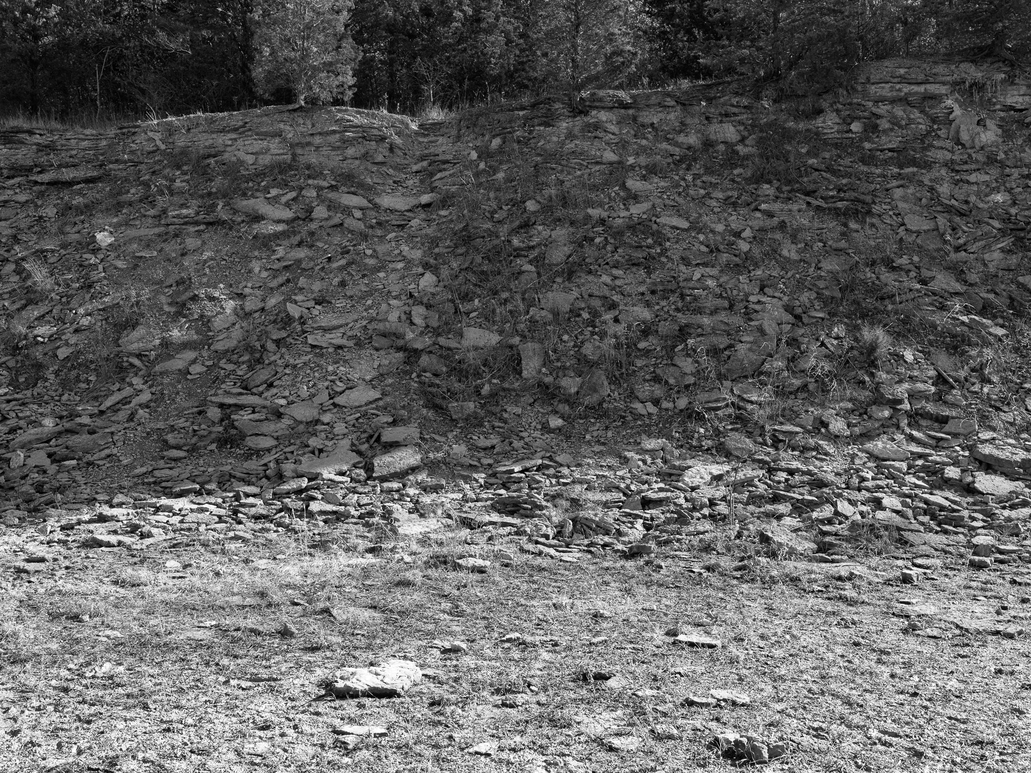
~447 Mya Ordovician limestone and shale.
Epoch
Late Ordovician (Cincinnatian Series); Waynesville, Liberty, and Whitewater formations.
Shawnee (Shawanwaki) · Myaamia (Miami) · Hopewell culture (300 BCE-600 CE) · Fort Ancient culture (1200-1600 CE); Fort Ancient Earthworks, a UNESCO World Heritage Site, located in Warren County; creek named for Caesar, an enslaved Virginian who escaped bondage c. 1774, was adopted by the Shawnee, and used the valley as hunting grounds; Shawnee and Miami ceded southern Ohio via Treaty of Greenville 1795; remaining Ohio Shawnee removed west via Treaty of Wapakoneta 1831.
Displacement & Tenure
Cession 11: Treaty of Greenville (1795); U.S. Army Corps of Engineers began acquiring Caesar Creek Valley land in the mid-1960s under eminent domain authority of the Flood Control Act of 1938; construction started 1971, dam completed 1978; village of New Burlington condemned and inundated, approximately 300 residents displaced involuntarily; last resident departed April 20, 1973; state park opened 1978, managed by Ohio DNR under lease from the Army Corps.
Shadow History
The creation of Caesar Creek Lake required the forced inundation of New Burlington, a functioning rural community straddling the Warren/Clinton County line at the confluence of Caesar Creek and Anderson Fork. Approximately 300 residents were displaced beginning in the mid-1960s when the Army Corps of Engineers began acquiring land under eminent domain; the last resident, 87-year-old Lawrence Mitchner, departed April 20, 1973, after refusing to meet with Corps appraisers. The community included a post office, Quaker meetinghouse, school, churches, a Masonic lodge, and farms. John Baskin documented the displacement in New Burlington: The Life and Death of an American Village (1976). The Caesar's Creek Quaker Meetinghouse was relocated rather than demolished. A 1976 archaeological reconnaissance conducted prior to inundation documented pre-contact sites in the reservoir footprint; earlier surveys had recorded a Hopewell-era village of 60-70 acres near the creek, featuring burial mounds up to 8 feet high with 79 documented burials; these and other sites were permanently inundated without preservation. The creek's name carries an additional layer: it memorializes Caesar, an enslaved Virginian who escaped bondage c. 1774 and was adopted into the Shawnee nation, a detail absent from most park signage.
Ecology
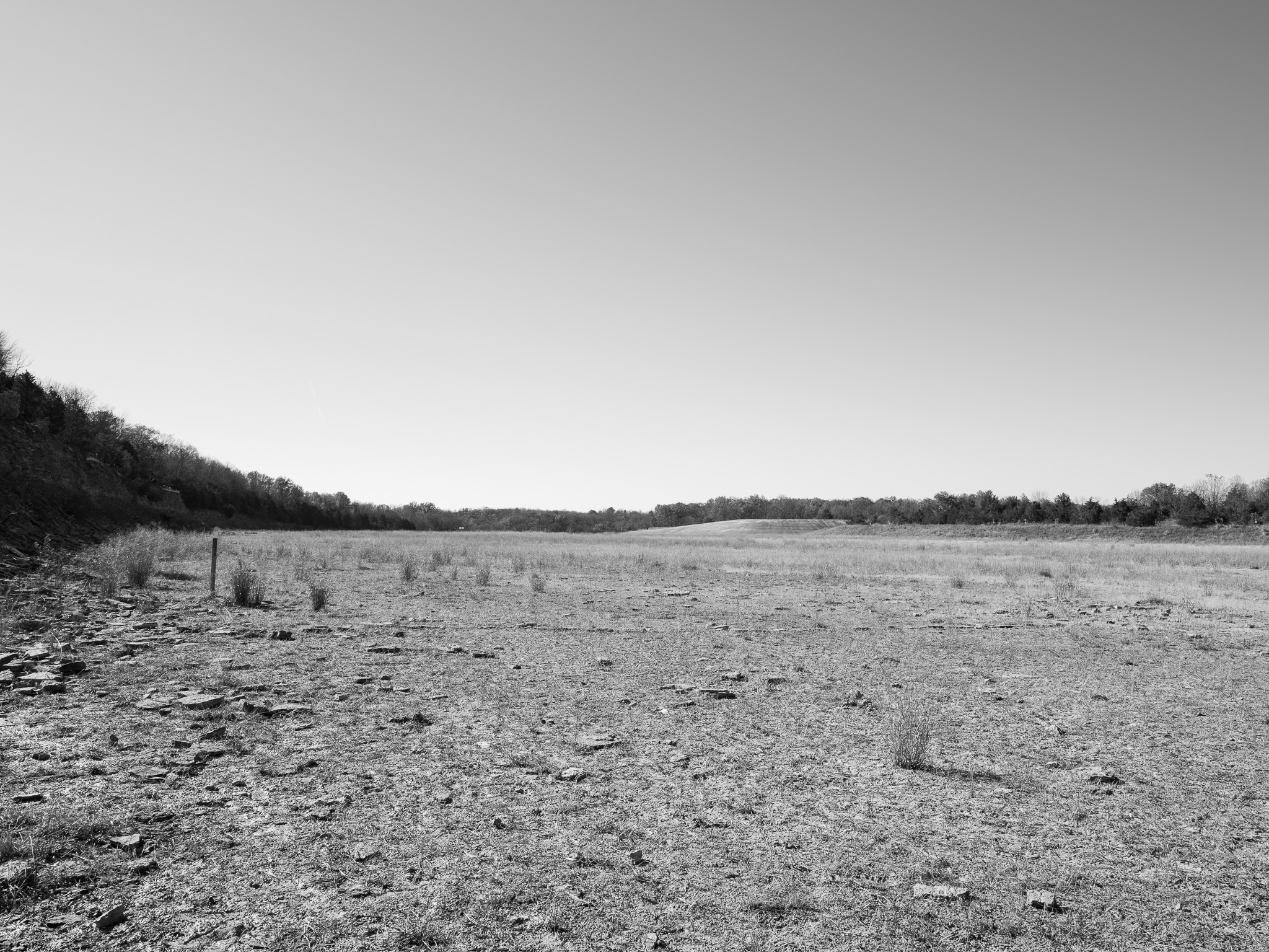
Oak-hickory and beech-maple upland forests with northern floodplain forest in creek valleys; restored native prairie and wetland complexes support grassland-dependent birds including grasshopper sparrow, Eastern meadowlark, bald eagle, and osprey; over 200 bird species recorded.
Hydrology
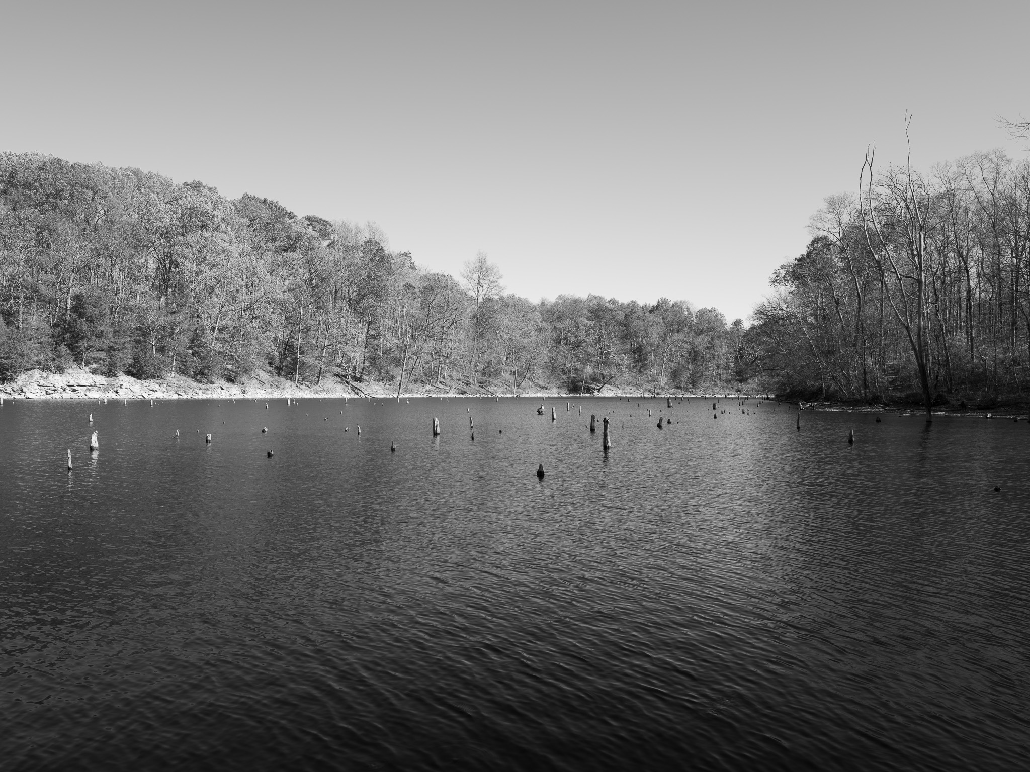
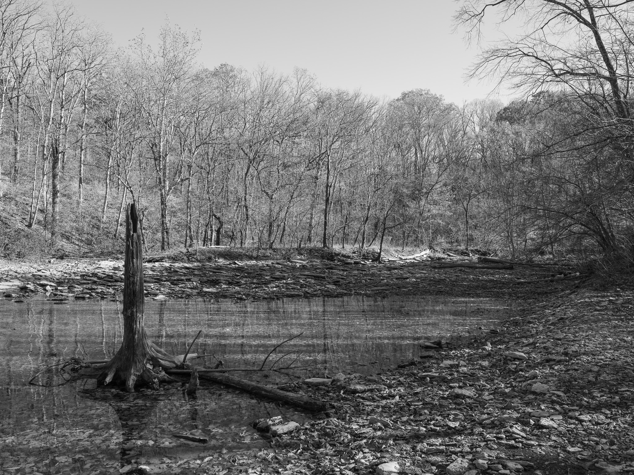
Caesar Creek is a tributary of the Little Miami River (a National Wild and Scenic River), draining a 237-square-mile watershed in Warren, Clinton, and Greene counties; the U.S. Army Corps of Engineers dam (completed 1978) impounds a 2,830-acre reservoir; Anderson Fork converges with Caesar Creek at the former site of New Burlington.