Displacement & Tenure
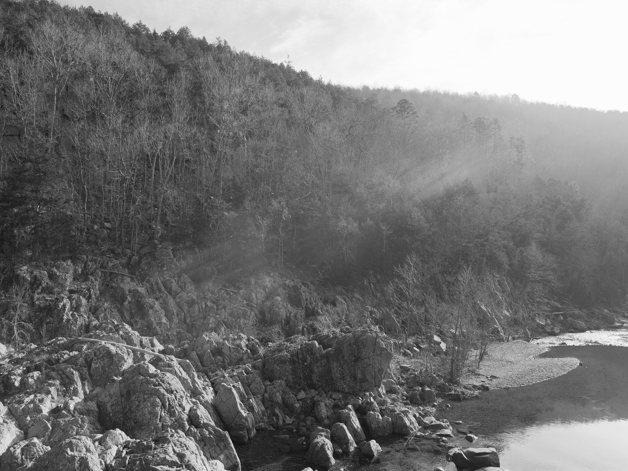
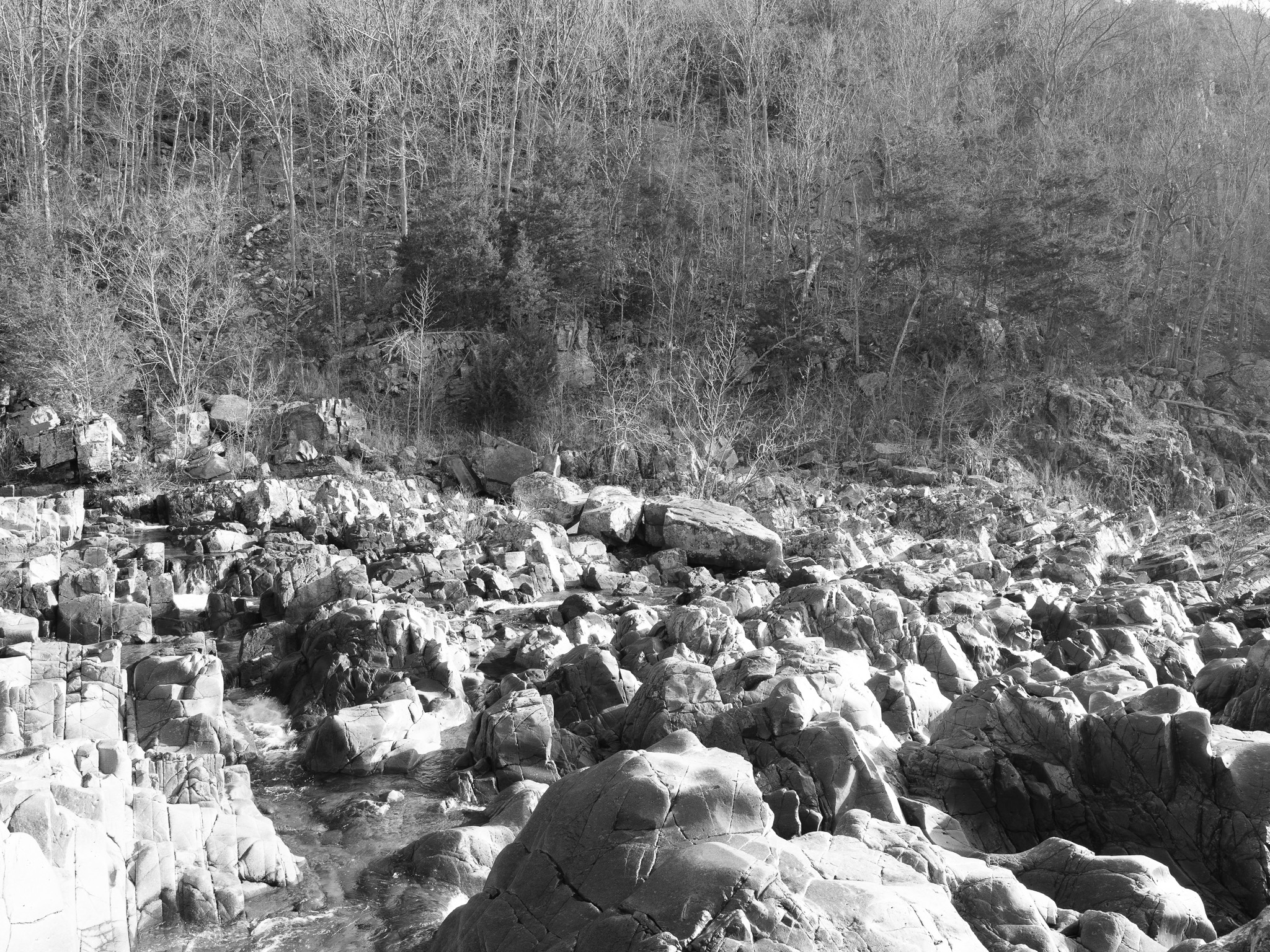
Cession 67: Treaty with the Osage (1808); on December 14, 2005, the Taum Sauk upper reservoir owned by AmerenUE failed, releasing approximately 1.4 billion gallons of water that destroyed the lower park; AmerenUE pled no contest to a federal Clean Water Act violation; a 2009 settlement awarded $102.3 million for park restoration, completed in 2010.
Shadow History
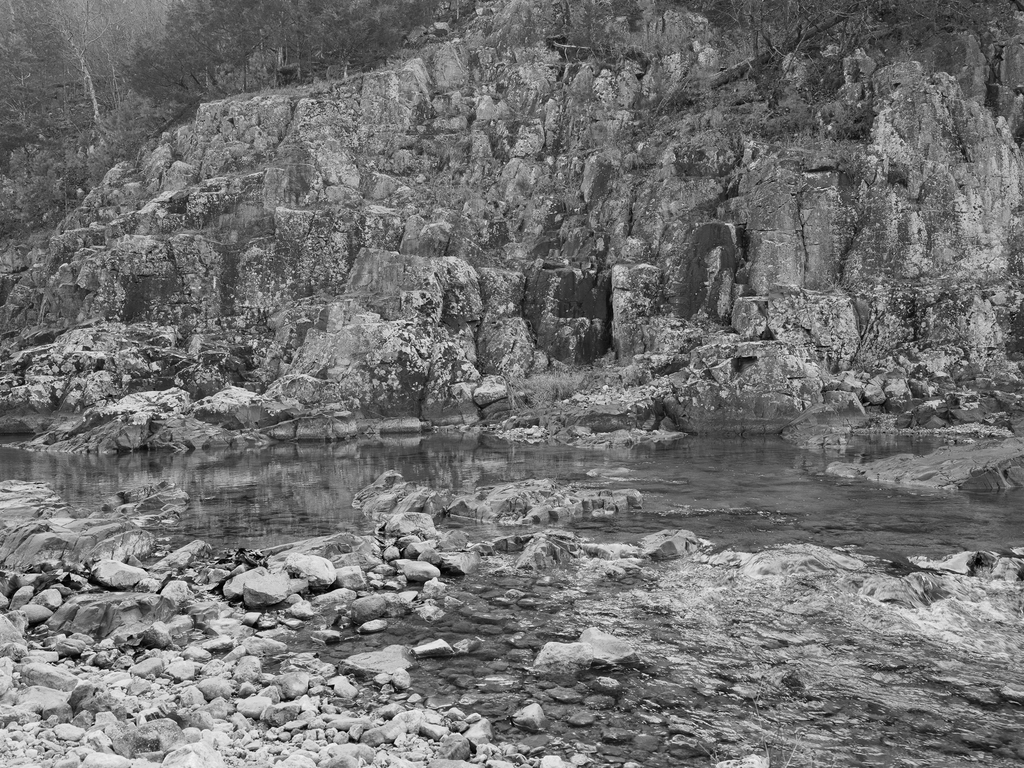
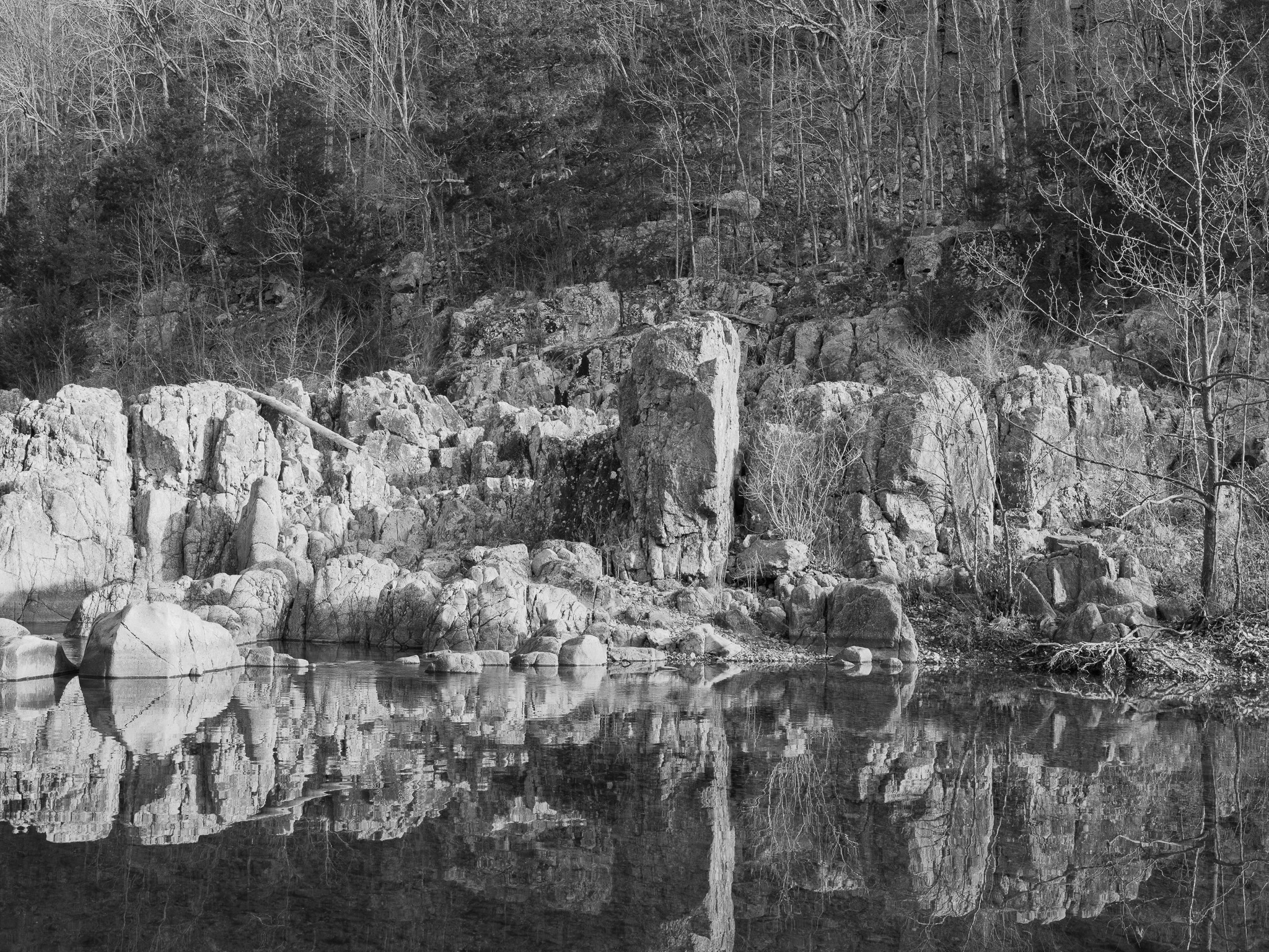
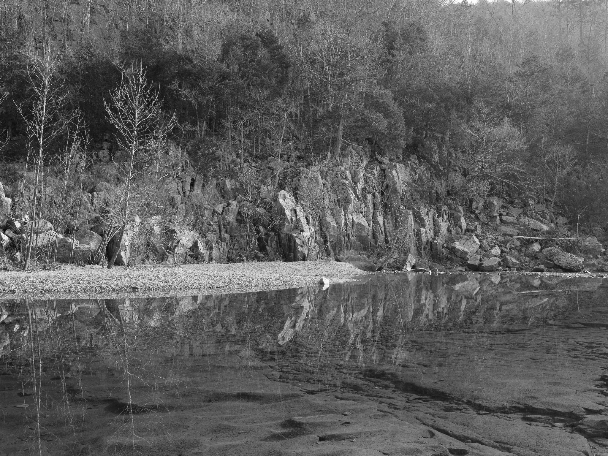
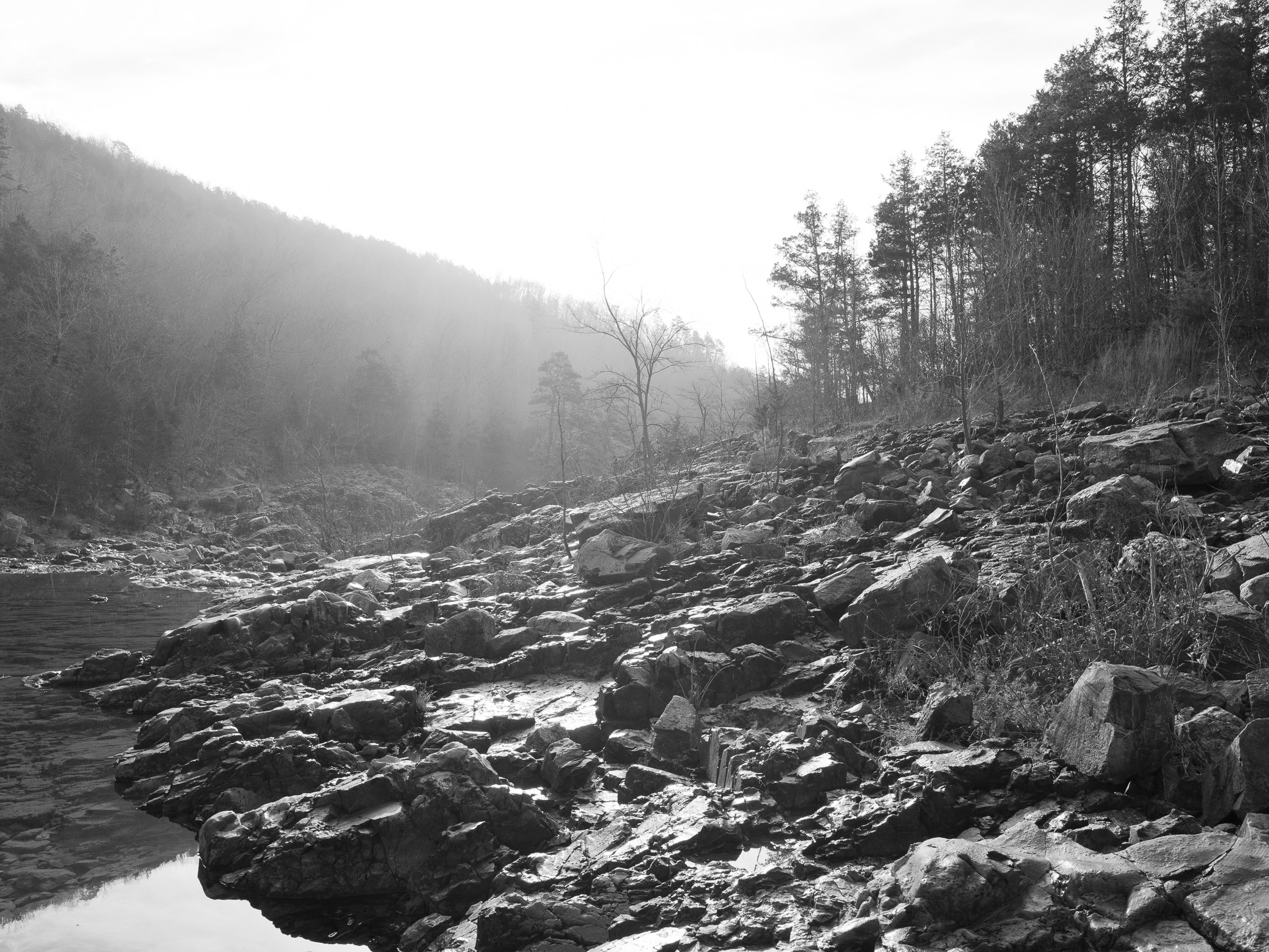
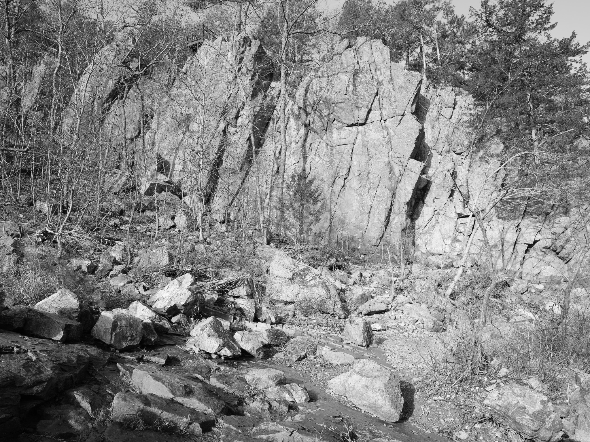
The park was assembled over 17 years by Joseph Desloge, heir to a St. Louis lead-mining family whose wealth derived from mineral extraction in the same regional belt as the park's Precambrian geology, and donated to the state in 1955; a 2006 to 2007 USGS study following the 2005 reservoir breach documented elevated turbidity, dissolved aluminum, dissolved iron, and a blue-green surface coloration in the East Fork Black River attributed to rock flour and an alum-based flocculant used by AmerenUE; the East Fork Black River corridor has documented Paleo-Indian occupation extending to approximately 12,000 years BP, and whether the flood disturbed intact subsurface deposits has not been publicly assessed.