Public Lands Institute
Map
Images
Archive
About
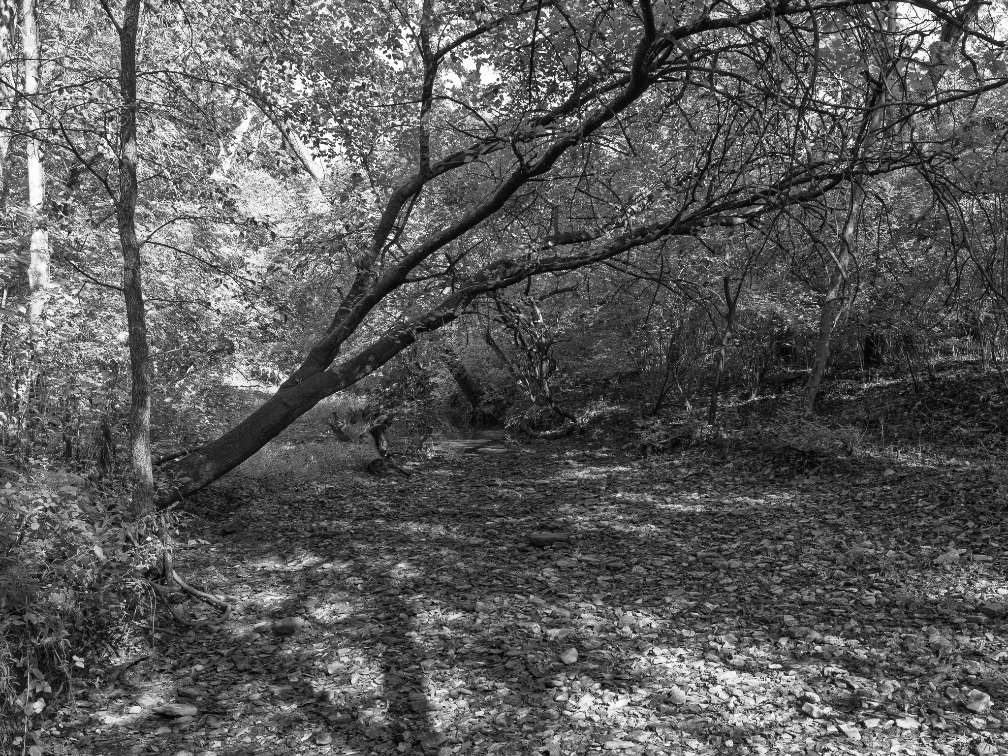
Parker Woods
OH
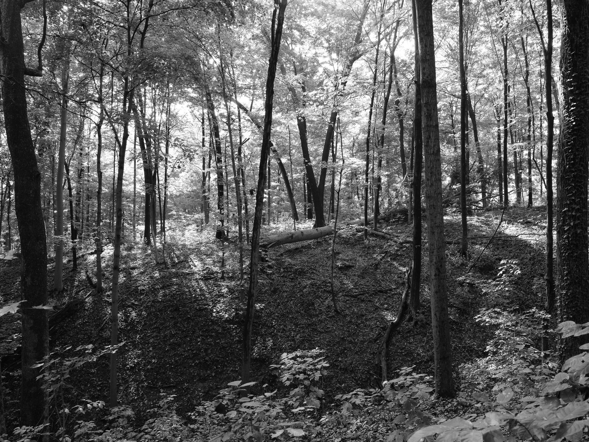
Parker Woods 1 · 2025-09-26
_DSF0040.jpg
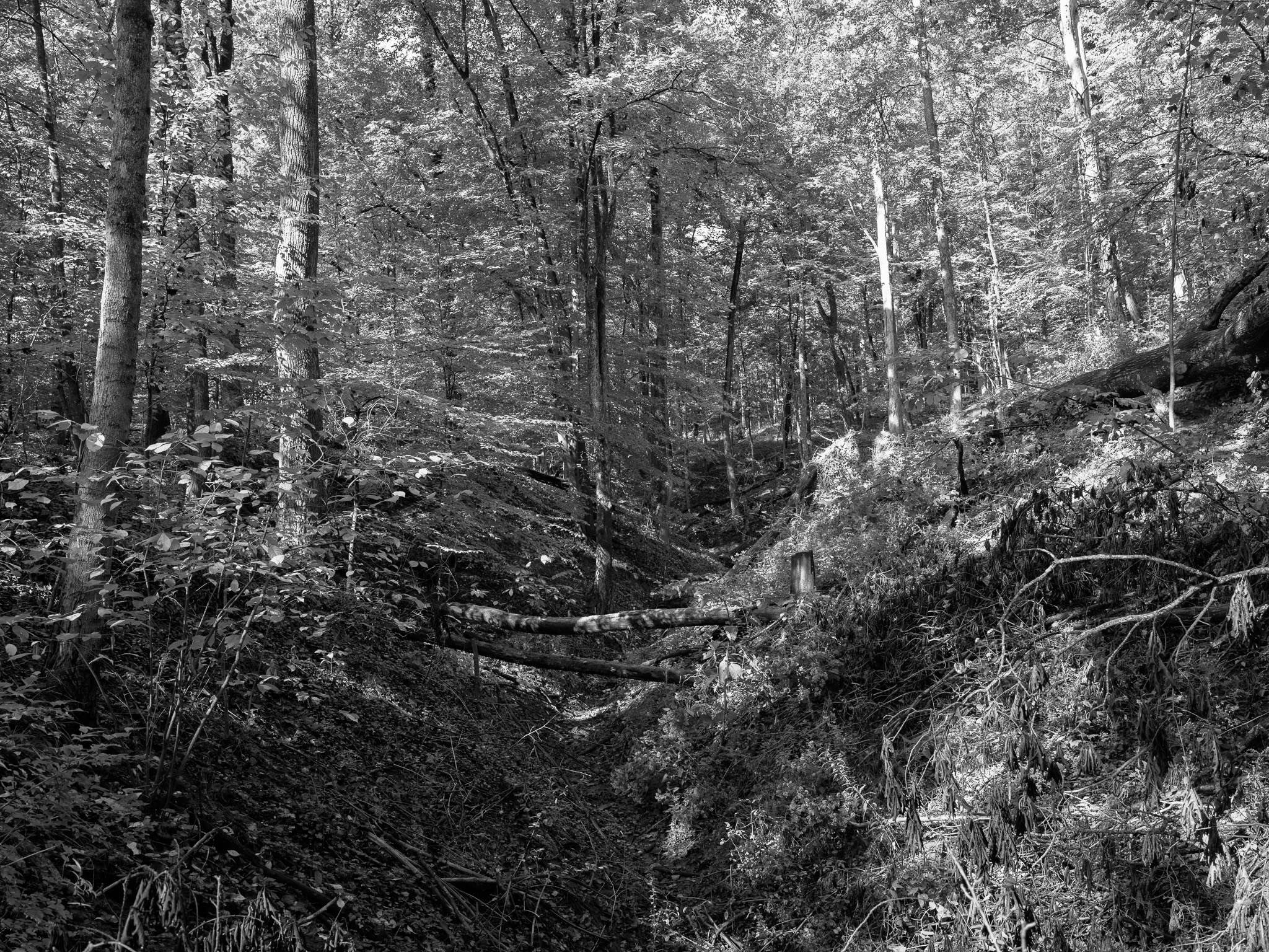
Parker Woods 2 · 2025-09-26
_DSF0045.jpg
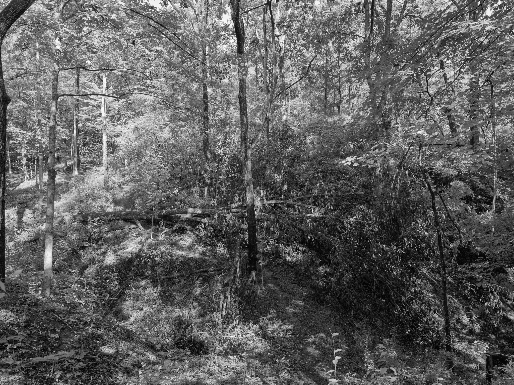
Parker Woods 3 · 2025-09-26
_DSF0048.jpg
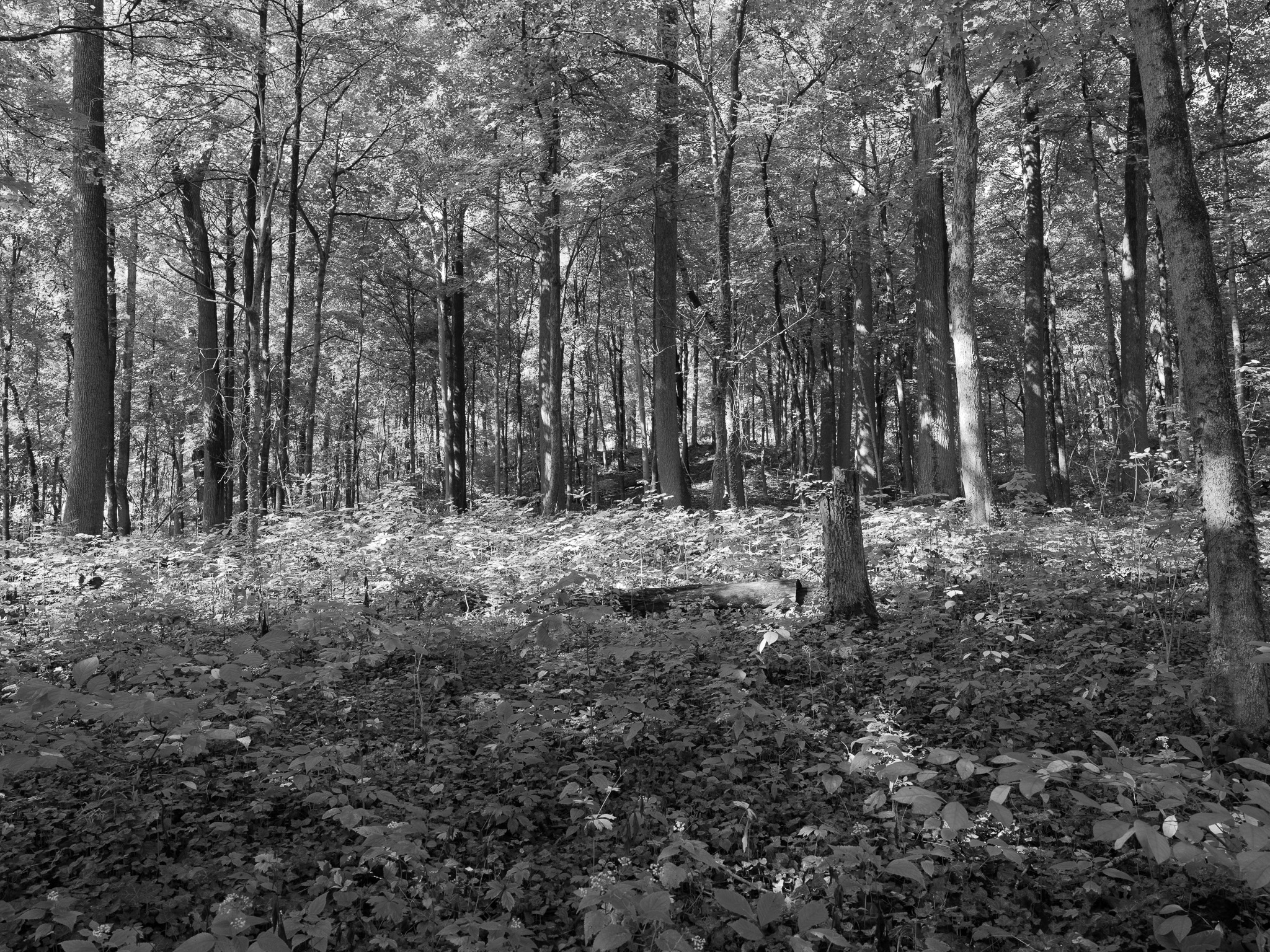
Parker Woods 4 · 2025-09-26
_DSF0049.jpg
Parker Woods 5 · 2025-09-26
_DSF0050.jpg
Parker Woods 6 · 2025-09-26
_DSF0051.jpg
View all 6 images →
← Clifton Gorge State Nature Preserve
Glen Helen Nature Preserve →