Public Lands Institute
Map
Images
Archive
About
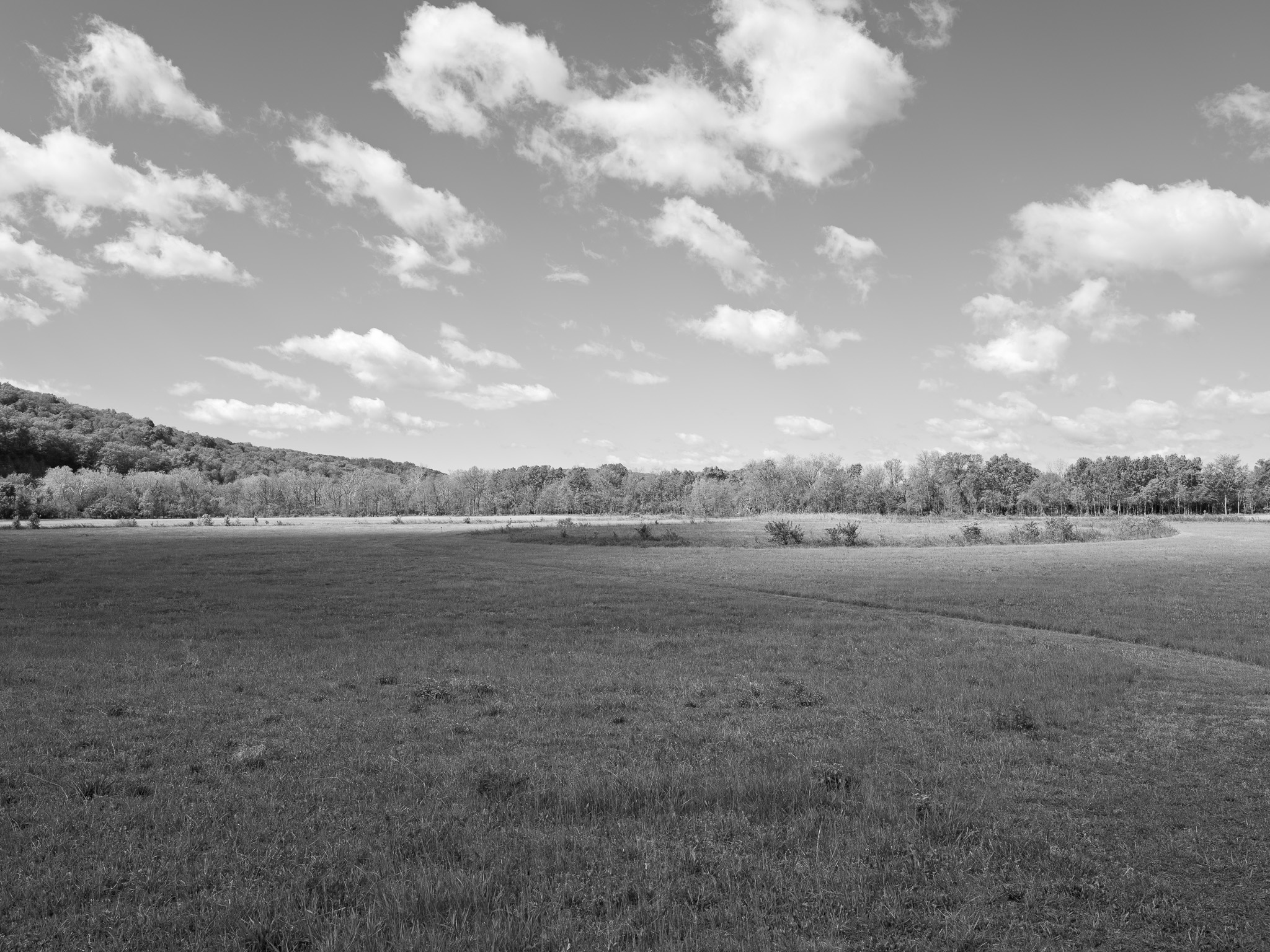
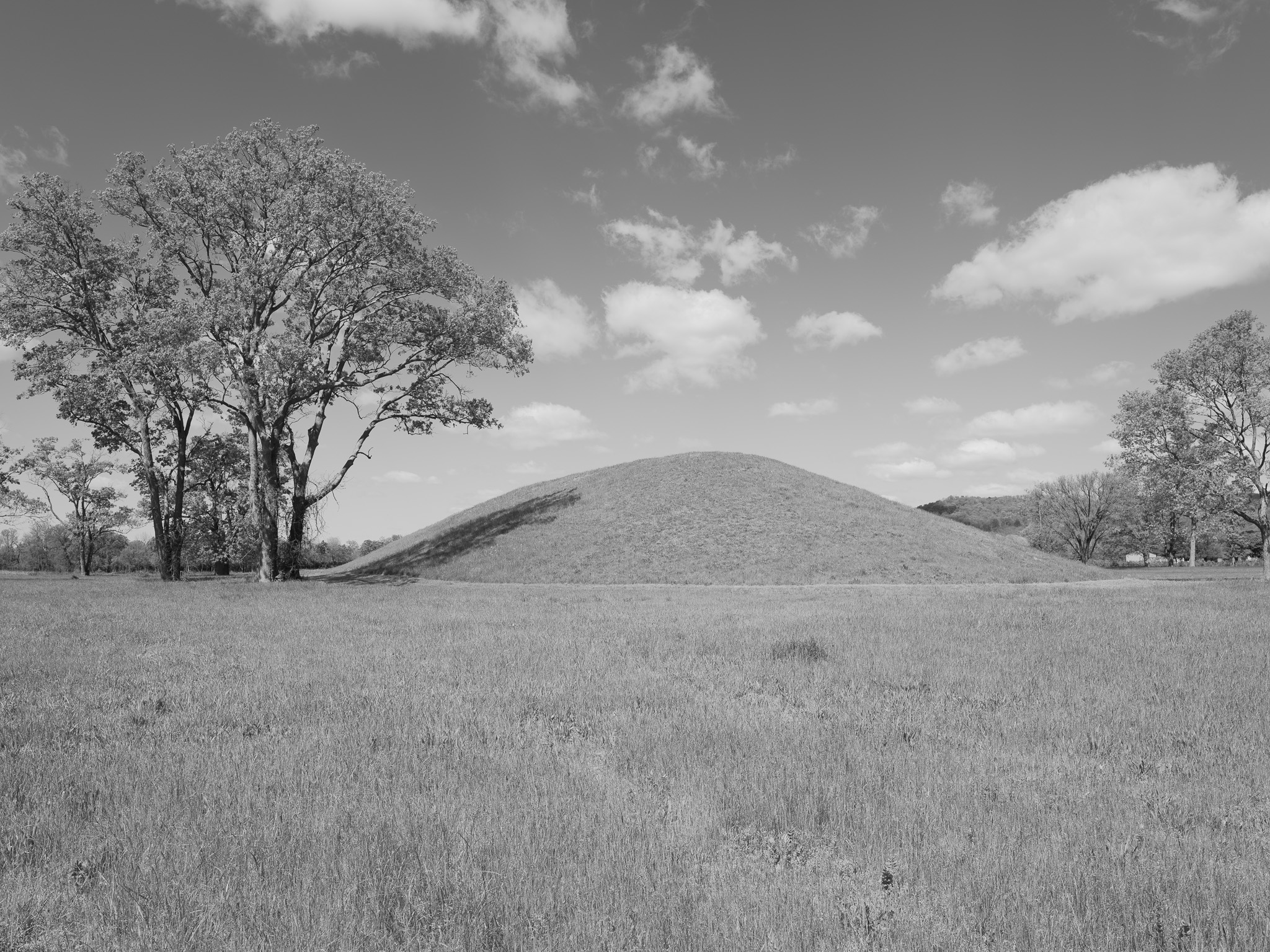
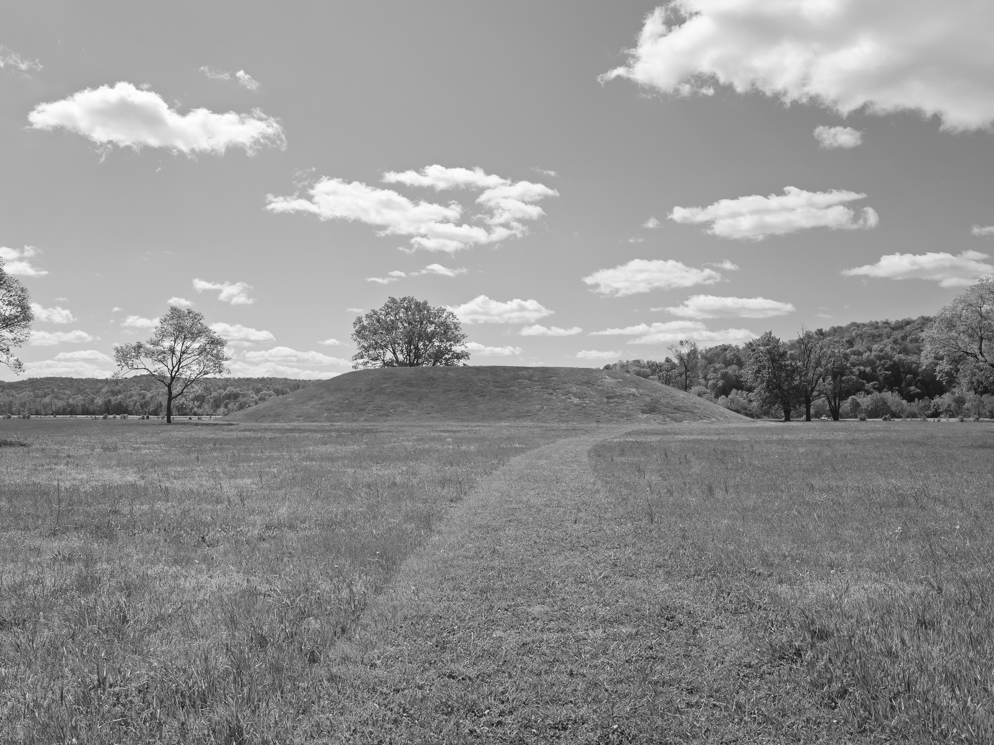
Seip Earthworks
OH
Seip Earthworks 1 · 2026-04-20
_DSF1388.jpg
Seip Earthworks 2 · 2026-04-20
_DSF1394.jpg
Seip Earthworks 3 · 2026-04-20
_DSF1399.jpg
Seip Earthworks 4 · 2026-04-20
_DSF1411.jpg
Seip Earthworks 5 · 2026-04-20
_DSF1416.jpg
Seip Earthworks 6 · 2026-04-20
_DSF1420.jpg
Seip Earthworks 7 · 2026-04-20
_DSF1423.jpg
Seip Earthworks 8 · 2026-04-20
_DSF1426.jpg
View all 8 images →
← Red River Gorge Geological Area
Rocky Fork State Park →