Public Lands Institute
Map
Images
Archive
About
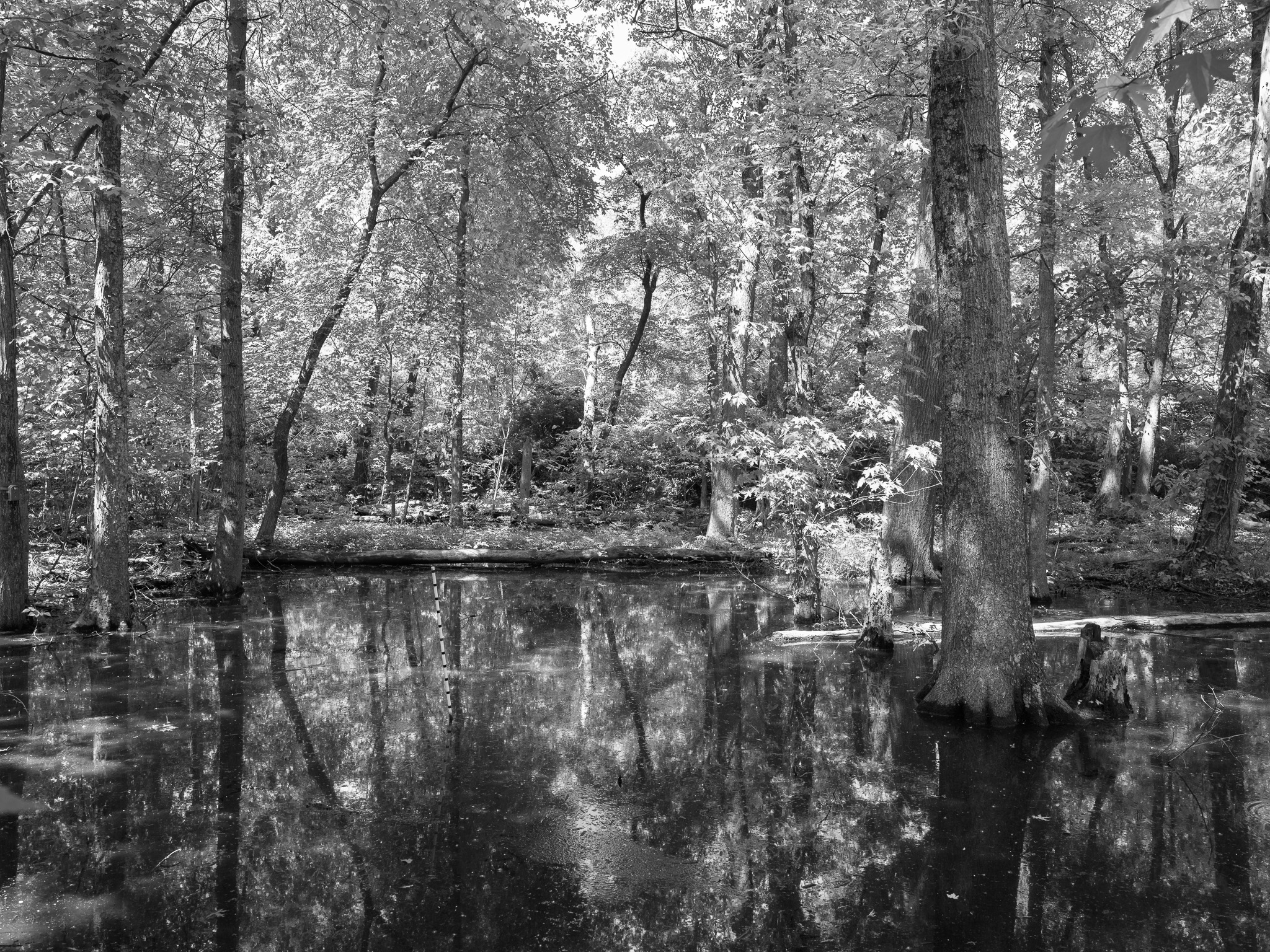
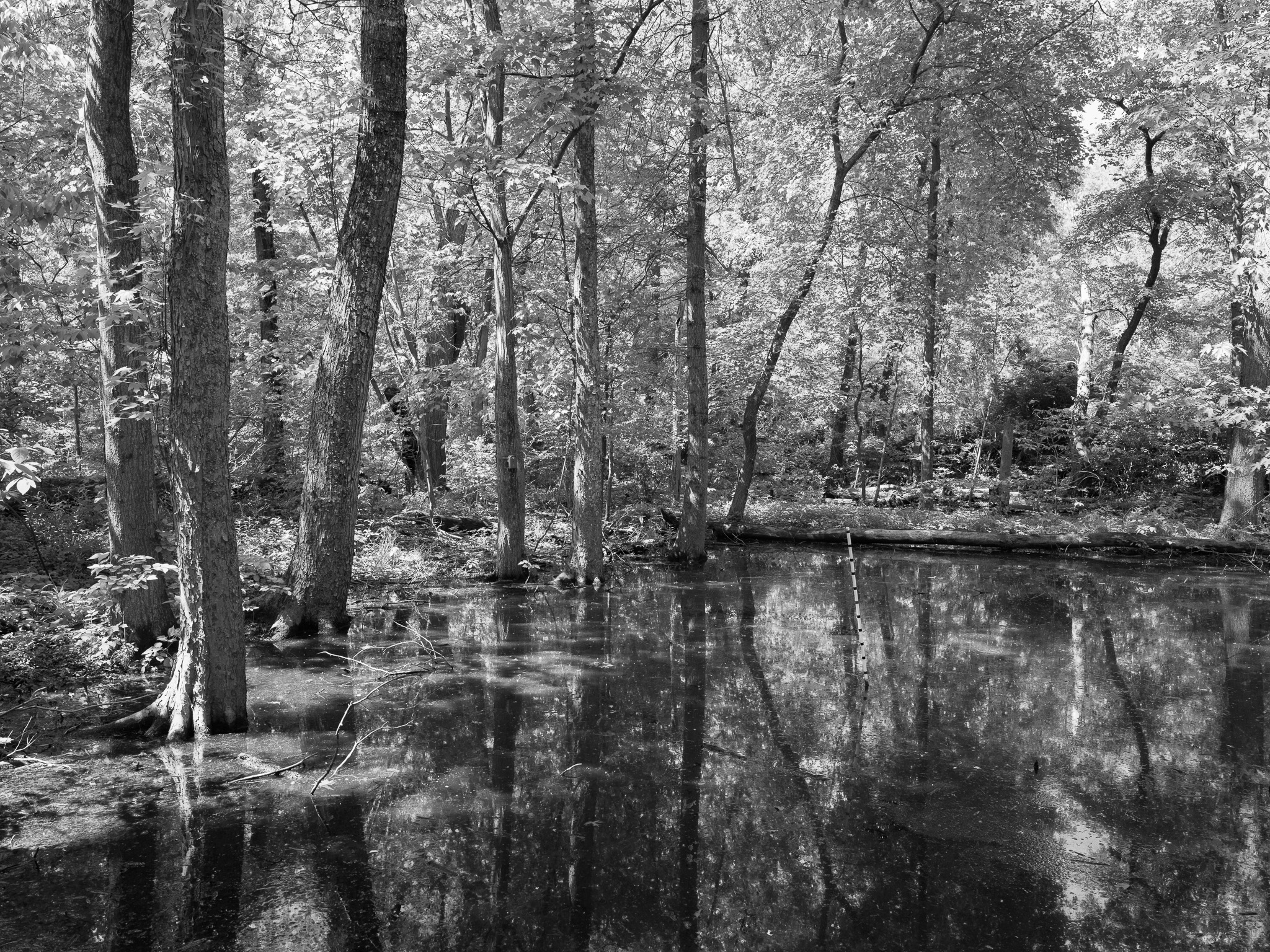
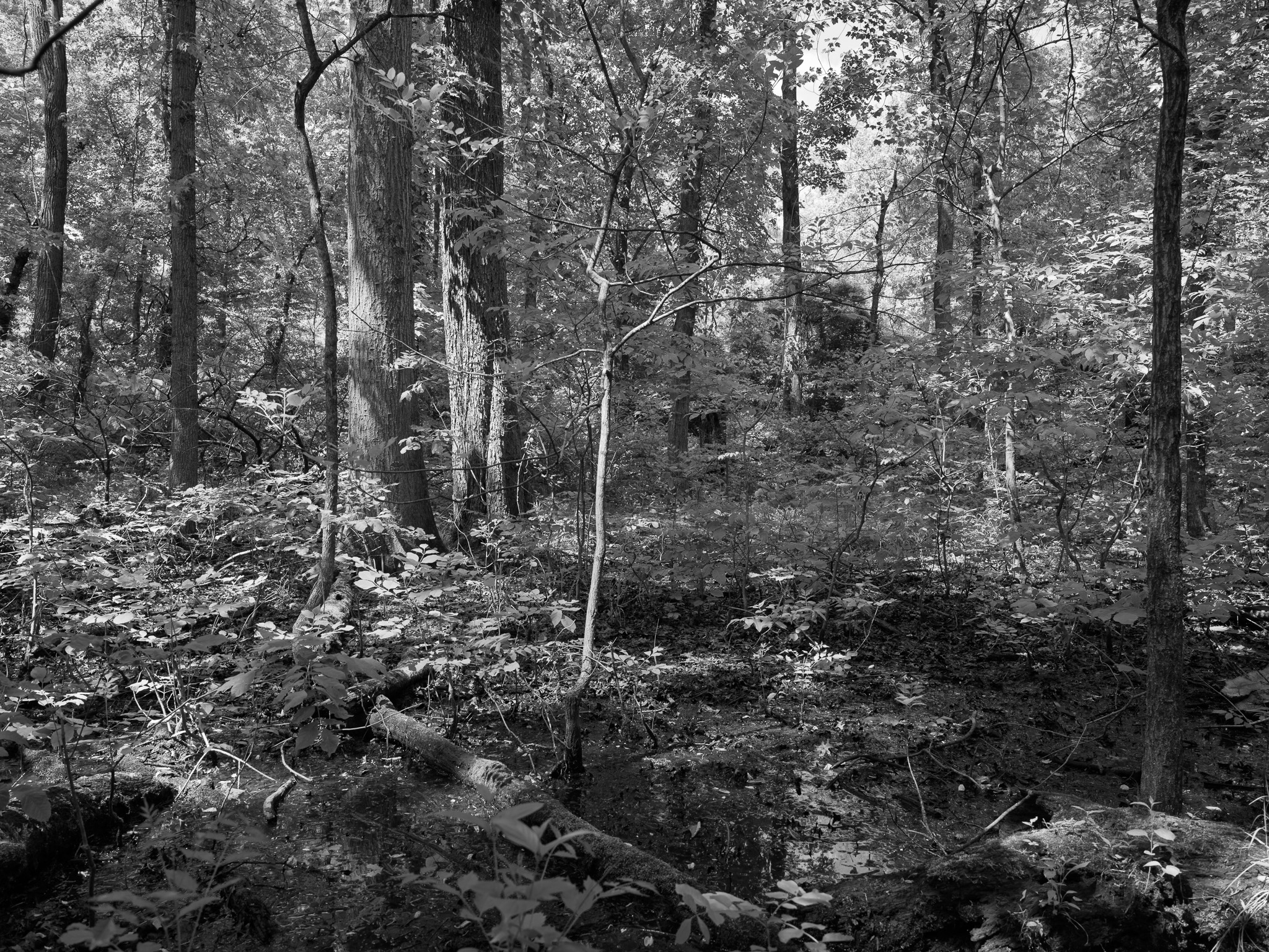
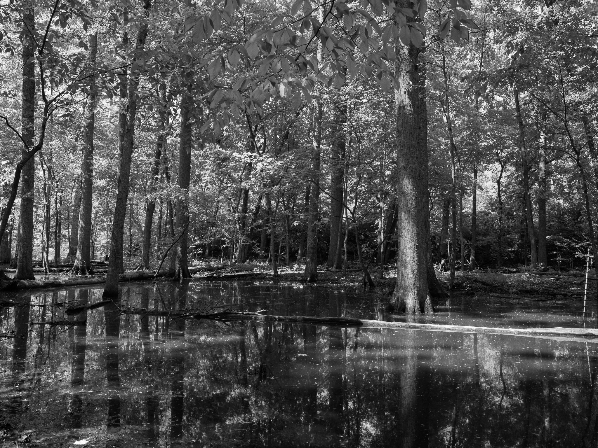
St. Anne's Woods and Wetlands
KY
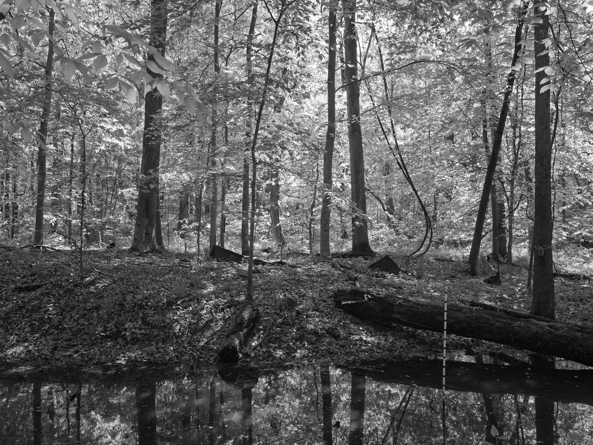
St. Anne's Woods and Wetlands 1 · 2026-04-30
_DSF1610.jpg
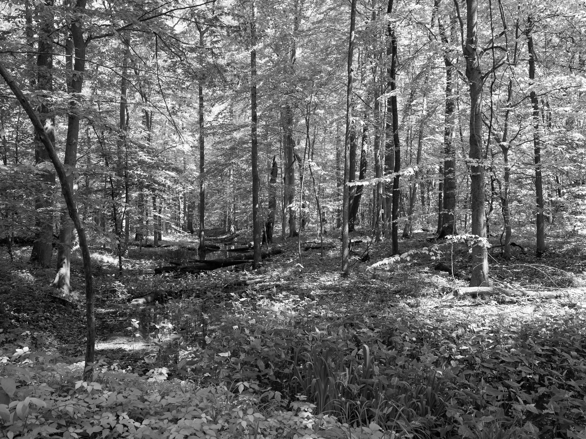
St. Anne's Woods and Wetlands 2 · 2026-04-30
_DSF1611.jpg
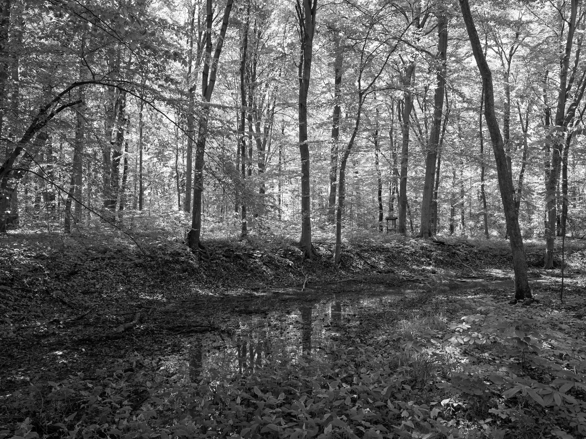
St. Anne's Woods and Wetlands 3 · 2026-04-30
_DSF1615.jpg
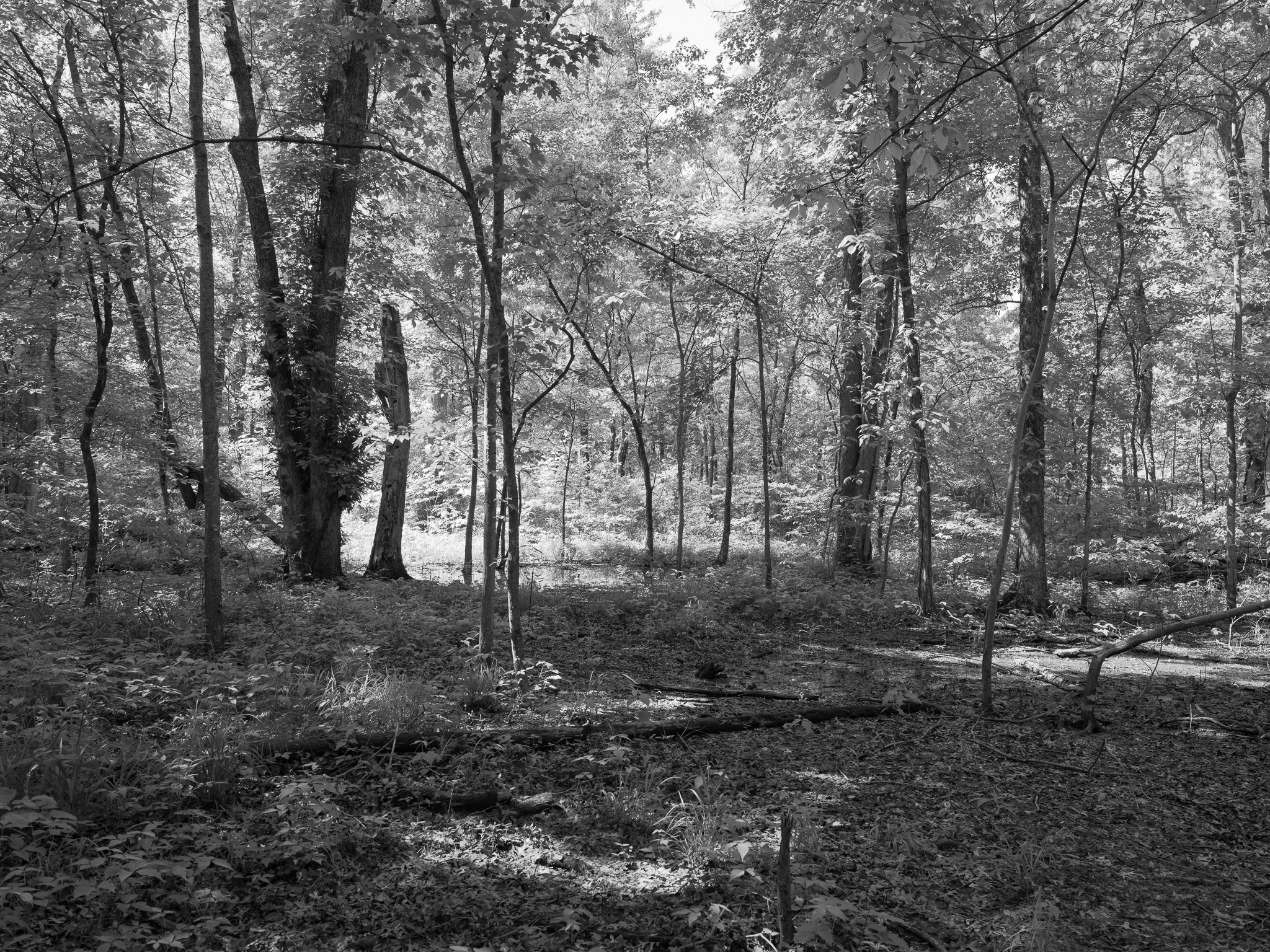
St. Anne's Woods and Wetlands 4 · 2026-04-30
_DSF1618.jpg
St. Anne's Woods and Wetlands 5 · 2026-04-30
_DSF1629.jpg
St. Anne's Woods and Wetlands 6 · 2026-04-30
_DSF1632.jpg
St. Anne's Woods and Wetlands 7 · 2026-04-30
_DSF1633.jpg
St. Anne's Woods and Wetlands 8 · 2026-04-30
_DSF1634.jpg
St. Anne's Woods and Wetlands 9 · 2026-04-30
_DSF1636.jpg
St. Anne's Woods and Wetlands 10 · 2026-04-30
_DSF1637.jpg
St. Anne's Woods and Wetlands 11 · 2026-04-30
_DSF1640.jpg
View all 11 images →
← Edge of Appalachia Preserve
Red River Gorge Geological Area →