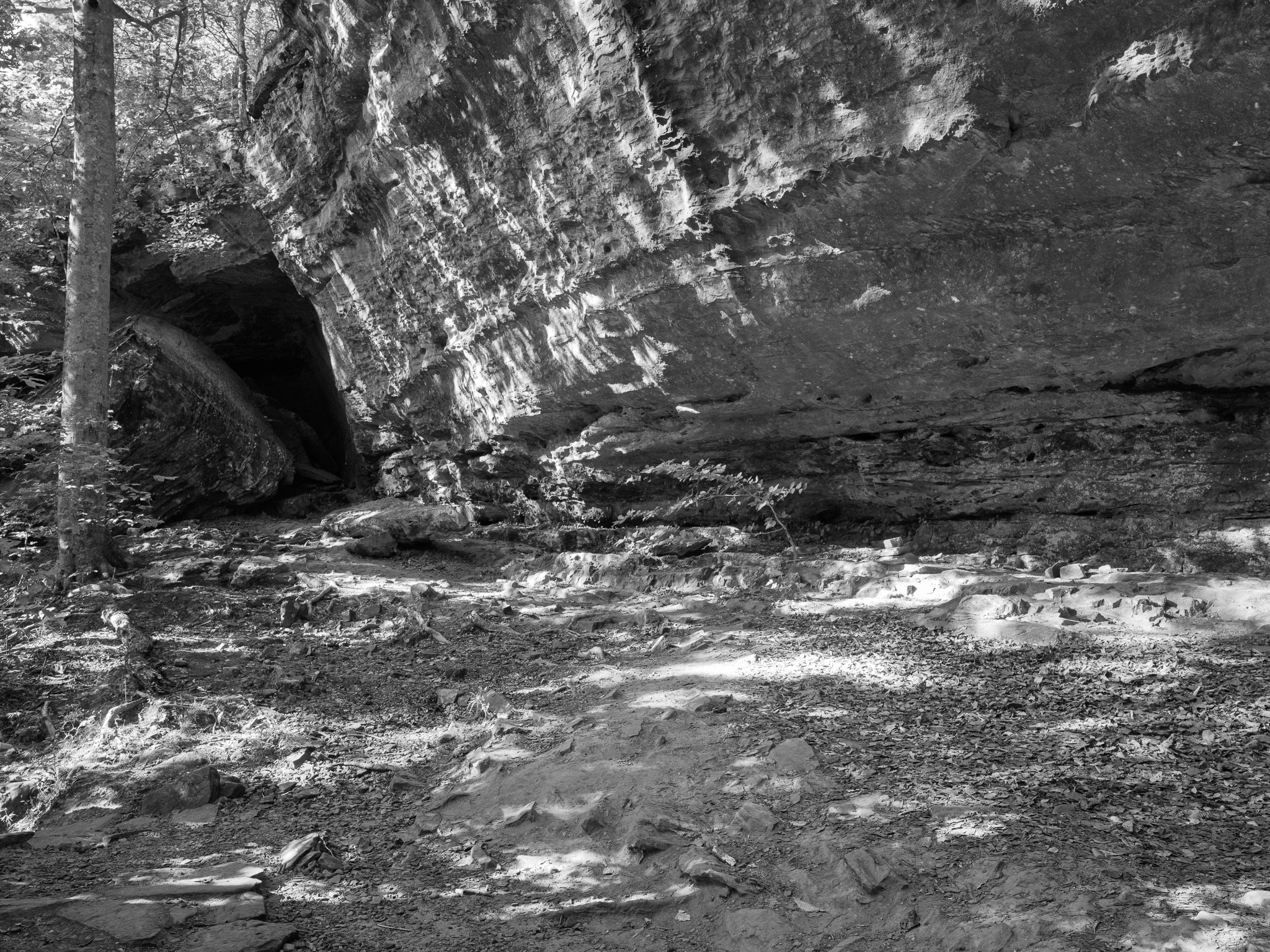
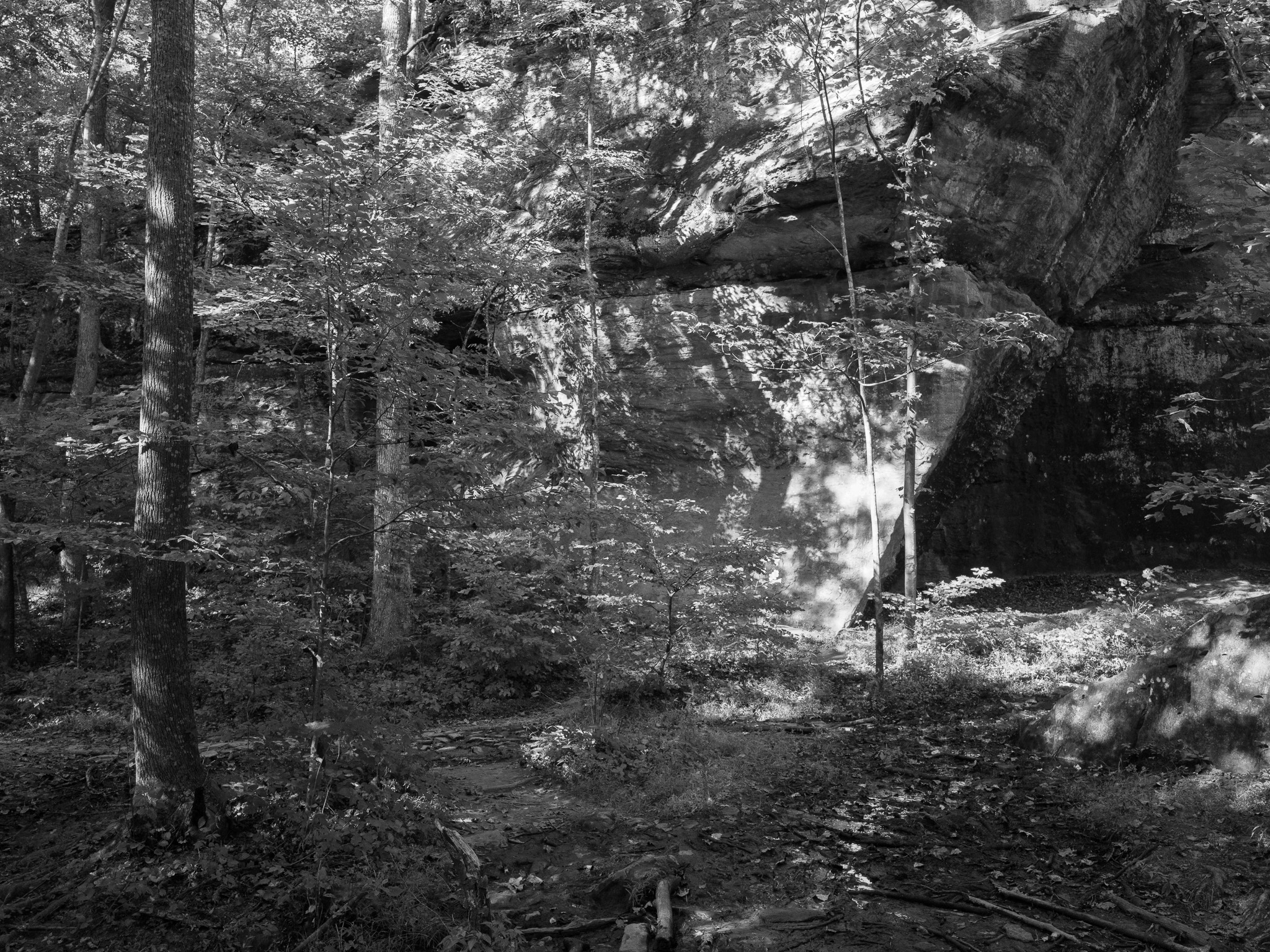
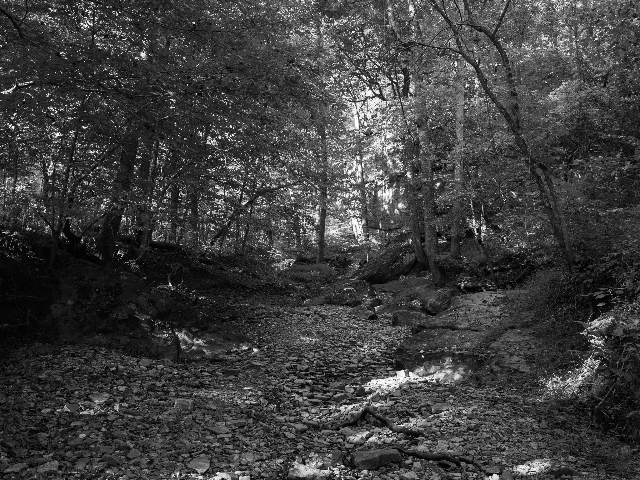
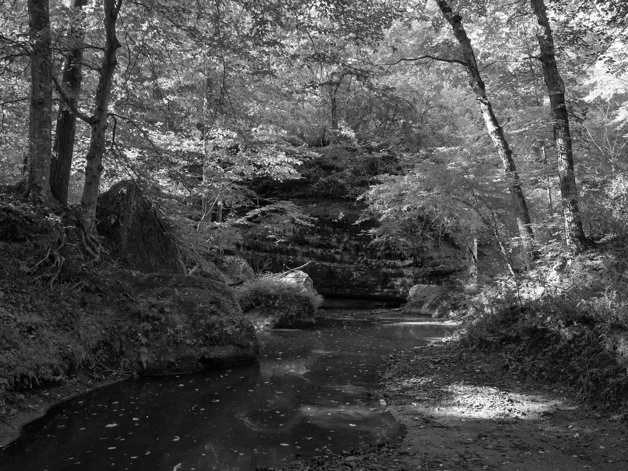
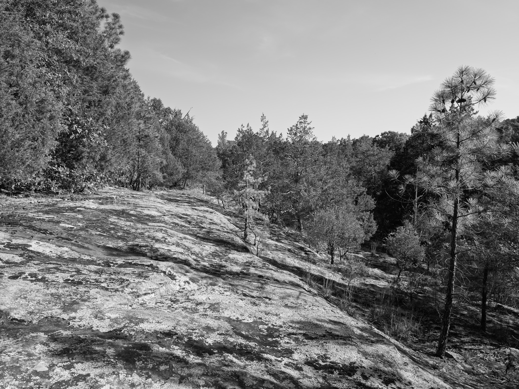
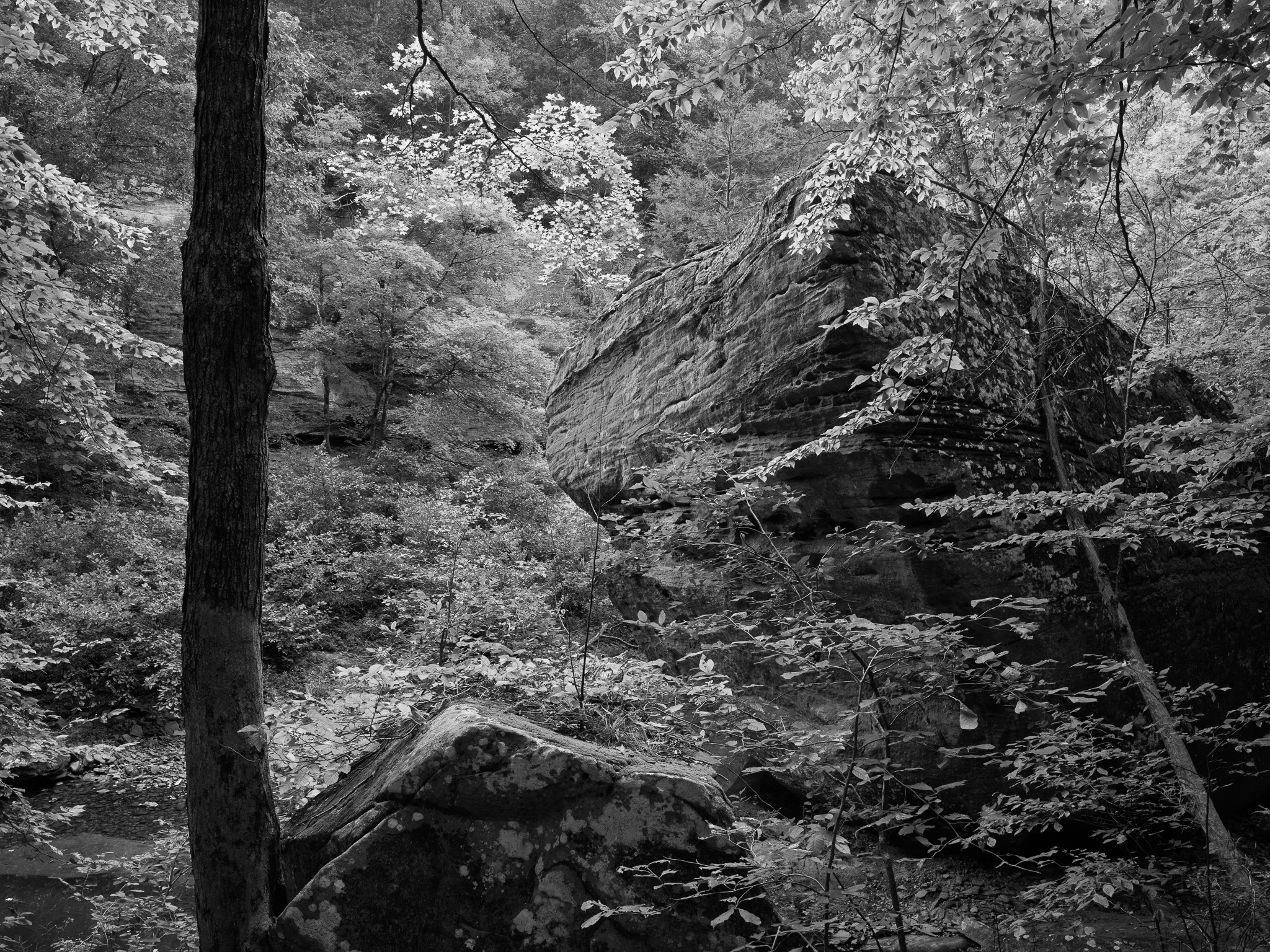
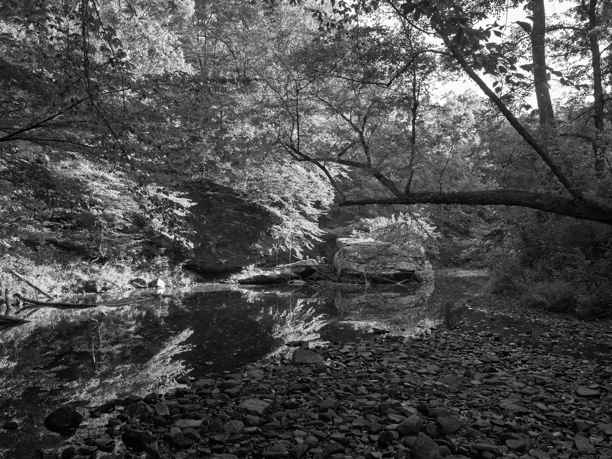
~318 Mya Early Pennsylvanian (Morrowan) Caseyville Formation sandstone, cut into the box canyon, natural bridge, and Devil's Backbone by Bay Creek tributaries; the oldest Pennsylvanian rock exposed in the Illinois Basin.
Epoch
Early Pennsylvanian (Morrowan)
Kaskaskia (Illinois Confederacy) · Myaamia (Miami) · Kiikaapoi (Kickapoo); Kaskaskia ceded the whole of southern Illinois south to the Ohio River via the Treaty of Vincennes 1803, retaining only a small reserve, with the confederated Illinois nations (Peoria, Kaskaskia, Michigamea, Tamaroa, Cahokia) ceding further territory by treaty in 1818; most Kaskaskia removed west of the Mississippi during the War of 1812 era, later merging with the Peoria and relocated to Indian Territory (Oklahoma).
Displacement & Tenure
Cession 48: Treaty with the Kaskaskia at Vincennes (1803); the Kaskaskia ceded the whole of southern Illinois south to the Ohio River and east to the Saline Creek/Wabash divide, retaining only a small reserve. Cession 96a: Treaty with the confederated Peoria, Kaskaskia, Michigamea, Tamaroa, and Cahokia (1818) ceded further Illinois Nation territory in the same region. Most Kaskaskia removed west of the Mississippi to Missouri and Arkansas during the War of 1812 era; the remaining Illinois remnant formally united with the Peoria by treaty on October 27 1832, receiving land on the Osage Reserve in Miami County, Kansas, and the merged Confederated Peoria, Kaskaskia, Wea, and Piankeshaw were later relocated to the Quapaw Agency in present Ottawa County, Oklahoma.
Shadow History
The recreation area lies within the Shawnee Purchase Unit, established under the Weeks Act in August 1933 specifically across Gallatin, Hardin, Pope, and Saline counties; the federal government assembled the forest by purchasing worn-out Depression-era farmland from Pope County families, with recorded parcel transactions documenting the buyout at the individual-farm level, including 180 acres from Thomas Cullum et al. in 1937 and 207 acres acquired via the Federal Land Bank in 1939.
Ecology
Five distinct natural communities crowd the canyon within a single quarter-mile stretch: sandstone glades, moss-covered cliffs and boulders, xeric forest, dry-mesic upland forest, and mesic beech-sugar maple-oak forest, together sheltering more than 700 species of flowering plants, ferns, and lichens.
Hydrology
Bay Creek watershed; four creeks cross the recreation area, cutting the 125-foot sandstone natural bridge, the largest in Shawnee National Forest, and the boulder-choked pool of Devil's Backbone; creek water is not potable.