Displacement & Tenure
No federal cession treaty identified for Atakapa-Ishak territory in coastal southeast Texas; the Atakapa-Ishak hold no ratified treaty with the United States and are not federally recognized; park site purchased by the State of Texas in 1972 from the Planet Oil and Mineral Corporation and Horizon Sales Corporation; the park opened in 1977 and was closed following Hurricane Rita (2005) and Hurricane Ike (2008), reopening in 2010.
Shadow History
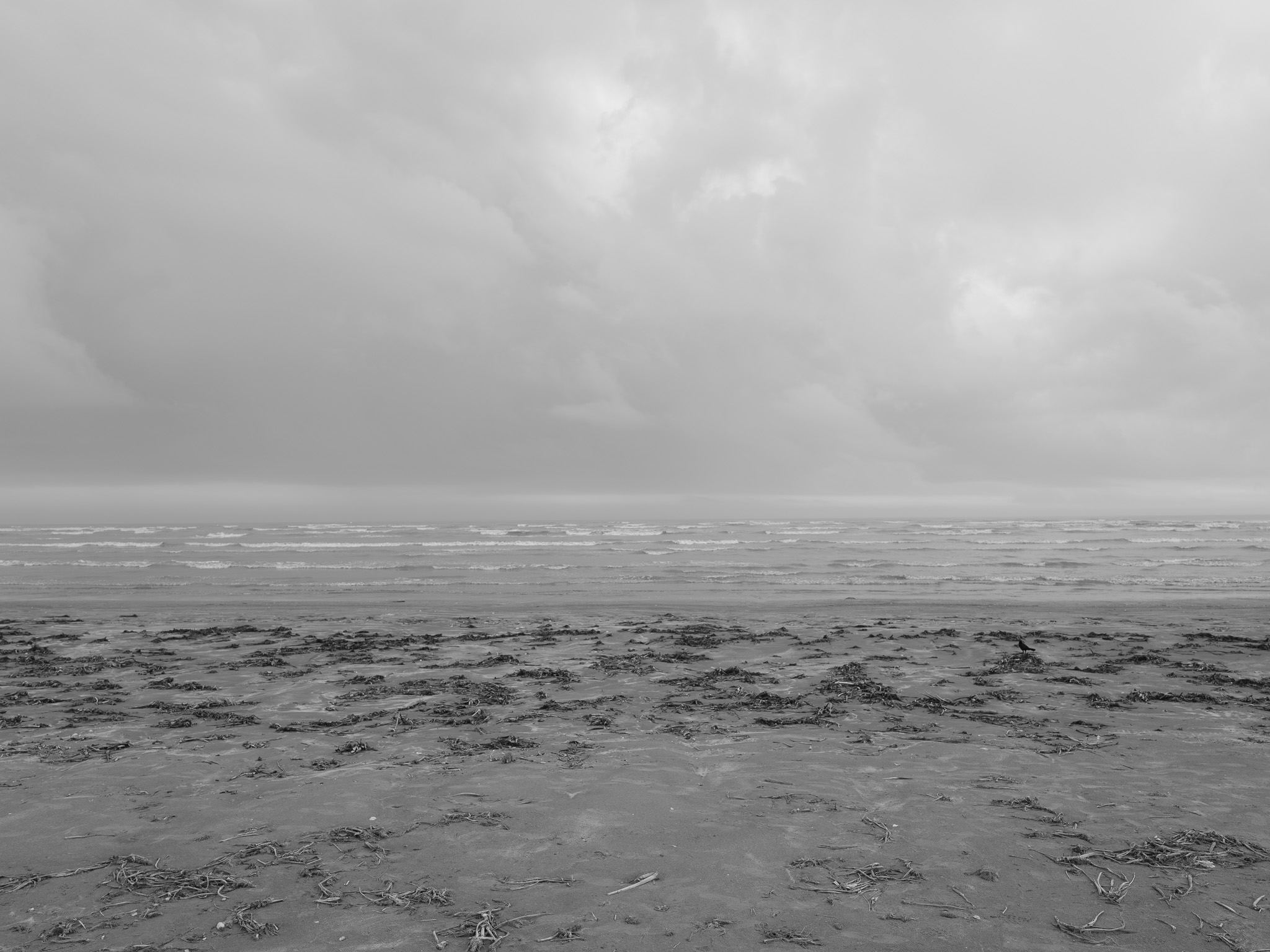
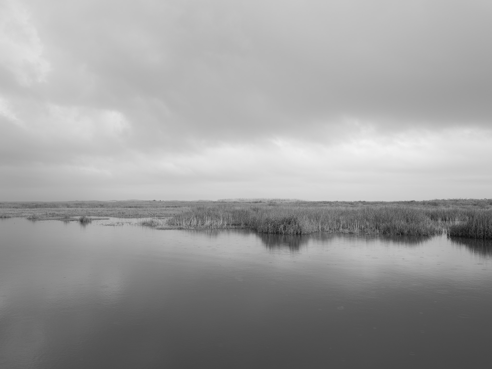
The park was purchased in 1972 from the Planet Oil and Mineral Corporation; active oil rigs remain visible from the park beach, and the site lies within Jefferson County, where the Spindletop salt dome discovery of 1901 launched the modern petroleum industry; the park's tidal marsh system is hydrologically connected to multiple federal hazardous waste sites in the Port Arthur-Beaumont corridor, including the Star Lake Canal Superfund site and contaminated wetlands from a former Chevron refinery; Hurricane Rita (2005) closed the park for nearly five years -- Hurricane Ike (2008) struck during the closure, compounding damage -- with the park partially reopening April 2010 and reaching full restoration by June 2014; during the closure, regional refinery and tank farm spills totaling approximately 8 million gallons contaminated the coastal zone; the site was formally designated as experiencing natural resource damages from the 2010 Deepwater Horizon blowout, receiving NOAA Gulf Spill Restoration funding for coastal dune restoration as a documented injured resource.